News
A scientifically accurate tectonic map of the world of ‘Game of Thrones’ created by scientists at the University of Sydney

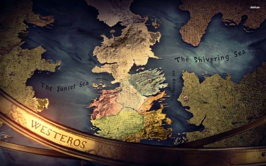
Game of Thrones may have been set in the fictional world of George R. R. Martin’s A Song of Ice and Fire, it was heavily inspired by medieval history and real-life human interactions. The tremendous success of the show has forced scientists all over the world to conduct various researches related to various aspects of the show. Recently, a group of four scientists at the University of Sydney — Youseph Ibrahim, Cian Clinton-Gray, Irene Koutsoumbis, and Sabin Zahirovic — joined forces to breathe reality into fiction – by making a scientifically accurate tectonic map of the world of Martin’s A Song of Ice and Fire novels.

A tectonic map portrays the architecture of the outer layer of the Earth. Since the Martinverse is purely fictional, there was no way of telling how the geological profile of Westeros or other lands in his stories looked like, until now.
The creators described how they came up with their video in The Conversation. “In this project, we worked with ‘evidence’ collected by us and others from the Game of Thrones fictional world,” they write. “This included evidence of past volcanism and mountain building, which are often the smoking gun for tectonic plate convergence and collision.”
“In the case of the Games of Thrones world, we’ve assumed the continents of Westeros and Essos broke apart 25 million years ago to open the Narrow Sea. We mapped this occurring much like the unzipping of the African continent along the East African Rift Valley at a similar time.”
Maybe this little info will jog up Martin’s mind and he’ll be inspired to finish Winds of Winter at a faster pace. Let’s hope it really does. Feel free to leave a comment below!


